The Forgotten CIty Beneath Us
February 11, 2022
Under every major city, there is a monumental lattice of interconnected pipes, tunnels, and culverts carrying electrical wiring, pressurized water, stormwater, raw sewerage, telephone wires, and train tracks. There are seven main forms of underground systems that civil engineers must plan for when designing a city: subway tunnels, pressurized water mains, storm drains, sewers, culverts, electrical wires, telephone cables, and building foundations. Of these networks, most are too dangerous to be seen or enjoyed by urban explorers because of the risk of electrocution or sealing. However, due to the number of open entrances of storm drains and long culverts and the least number of risks, a subsection of urban exploring has arisen over the past ten years known as “draining.”
Draining is the practice of exploring and photographing drains, culverts, spillways, and underground waterways of major cities in a safe manner. Among the many causes that drive people to explore these often vast manmade caverns below our feet is to seek the history and beauty of the engineering and architecture that a city can hold. Every tunnel matrix is a lesson in the timeline of a city and the building process in which the grottos of concrete and brick were constructed. For example, one taking a walk through the storm drains of London or Manchester in England would see four layers of tunnel work, each indicating the periods in which they were forged. Sections of hollowed-out earth made held back by bricks indicate the tunnels were constructed during the Victorian era whereas locations made of prefabricated, light-grey concrete are most likely from the late twentieth century.
Here in St. Louis, you can learn about the World’s Fair, the history of flooding, and attempts to control nature through the examination of the River Des Peres underground. Since the founding of St. Louis in 1764, the body of water little more than a creek known as River Des Peres had been functioning as the main form of waste removal until the World’s Fair in 1904. With the expectation of the arrival of hundreds of thousands of guests and the need for the city to look its best, the stream of greywater flowing directly through Forest Park was hidden with a wooden covering until 1933-1940 when a 9-mile section was moved underground after the river suffered a massive flood and overflowed its banks and dumped thousands of gallons of combined sewage into the basements of hundreds of homes and businesses. Nowadays, the river becomes subterranean on the outskirts of University City, flows under the Delmar Loop, Clayton, Forest Park, the Central West End, and does not emerge until the industrial district between the Grove and the Hill. To achieve this astounding miracle of engineering, construction crews had to create two, 32-foot wide concrete tunnels sunk 20 feet under the ground.
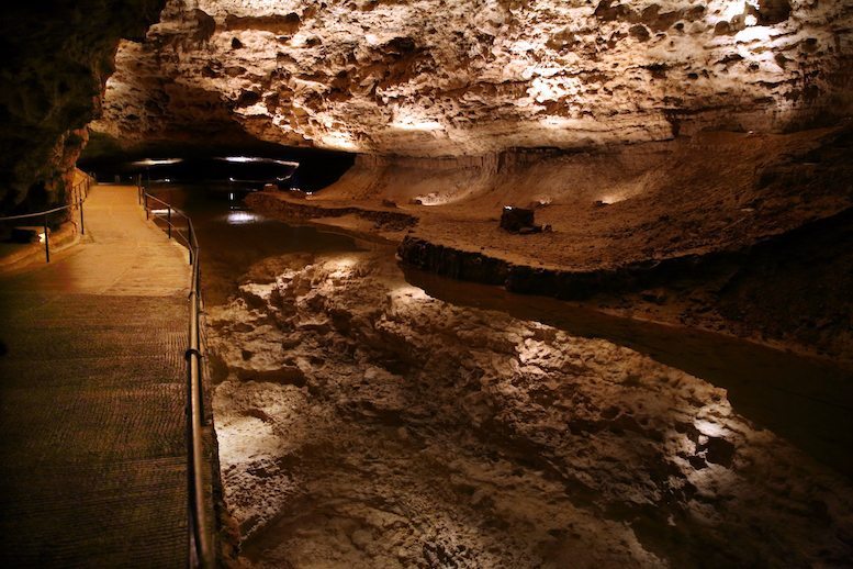
Others go underground looking for an unusual and unique beauty that can be found in the isolation and darkness. Cool air, flowing water, reflection colors from the rare splinters of light, faded graffiti, and a sense of adventure provides a relaxing environment for exploration of a city’s almost lost underworld. While a strange and unusual experience, journeying beyond the comforts of home is both educational and an enjoyable experience.
